Start with the operating picture
Route planning begins before the map is opened. Define the objective, group profile, available time, access constraints and acceptable turnaround point. Then compare the route with current weather and local information.
Map reading shows shape, distance, drainage, ridges, paths and likely decision points. Contours are evidence, not a complete description. Surface, visibility and recent conditions can change the practical character of terrain.
Tools and method
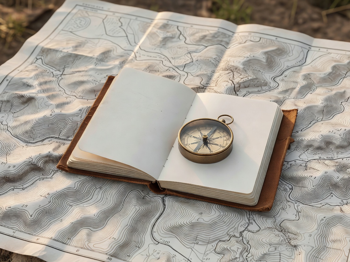
Traditional tools offer a reliable reference when batteries, signal or interfaces become a problem. A compass supports direction checks; a paper map supports the wider picture. Digital navigation adds useful positioning, route storage and weather layers, but it can encourage attention to a small screen.
A sound method uses both where appropriate. Prepare the route on a map. Carry a usable backup. Confirm the device setting, power plan and map coverage. Practise without relying on a single display.
Waypoints and alternatives
Use waypoints for meaningful decisions: junctions, crossings, summits, shelters or turnaround locations. Each waypoint should have a purpose. Mark the expected time, the evidence that confirms position and the alternative if the plan no longer fits.
Route alternatives are not simply shorter routes. Consider terrain, escape options, group ability, weather exposure and the consequences of delay. A route card or briefing should make those choices visible to the whole team.
Good fit for
- New navigators learning a repeatable planning process.
- Experienced walkers moving into group leadership.
- Teams combining paper and digital navigation.
- Anyone who needs better pre-trip route decisions.
What to verify
Ask whether instruction takes place in representative terrain, how navigation is assessed and whether route changes are practised. Confirm map scale, equipment requirements and supervision. Educational navigation training does not replace local knowledge, formal qualifications or current professional guidance.
Field checklist
- Objective, route and return time recorded.
- Weather and daylight checked from current sources.
- Primary route, alternatives and decision points marked.
- Paper and digital navigation systems prepared.